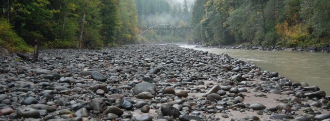
The October 2007 breaching of a temporary cofferdam constructed during removal of the 15-meter (m)-tall Marmot Dam on the Sandy River, Oregon, triggered a rapid sequence of fluvial responses as ~730,000 cubic meters (m3) of sand and gravel filling the former reservoir became available to a high-gradient river.
The October 2007 breaching of a temporary cofferdam constructed during removal of the 15-meter (m)-tall Marmot Dam on the Sandy River, Oregon, triggered a rapid sequence of fluvial responses as ~730,000 cubic meters (m3) of sand and gravel filling the former reservoir became available to a high-gradient river. Using direct measurements of sediment transport, photogrammetry, airborne light detection and ranging (lidar) surveys, and, between transport events, repeat ground surveys of the reservoir reach and channel downstream, we were part of a team that monitored the erosion, transport, and deposition of this sediment in the hours, days, and months following breaching of the cofferdam.
The removal of Marmot Dam in 2007 allowed the Sandy River to flow freely from Mount Hood, Oregon to the Columbia River for the first time in nearly 100 years. At the time, it represented the greatest release of sediment from any U.S. Dam removal.